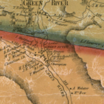
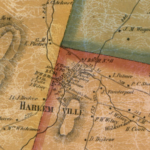
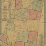
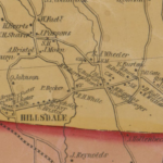
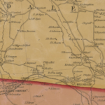
Check out these Library of Congress links for access to two nineteenth century maps of Columbia County – 1851 and 1858. What’s really helpful about looking at the maps online is the tool that allows viewers to zoom in and out. An original 1851 map of Columbia County hangs in Town Hall.
1851
https://www.loc.gov/item/2012593653/
1858
https://www.loc.gov/item/2012593654/
Click on the maps below to expand:

